Shasta County Seat on the Sacramento
Listings in Redding, CA
Welcome to Redding, the Shasta County seat set along the Sacramento River between the Cascades and the Trinity Alps, and the gateway to Whiskeytown, Shasta Lake, and the Sundial Bridge.
Redding is the county seat and largest city of Shasta County, in the far northern reaches of California's Sacramento Valley. Roughly 94,000 people live in the city, which sits along the Sacramento River between the Cascade Range to the east and the Trinity Alps to the west, just south of Shasta Lake. The city traces its origins to the Gold Rush and the railroad. The site, then called Poverty Flats, was chosen in 1872 as the northern terminus of the California and Oregon Railroad, and the town that grew around the terminus was named for Benjamin B. Redding, the railroad's first land agent. Redding incorporated in 1887 and developed as the transportation, commercial, and government hub of the region, a role it still fills today. Redding's economy is anchored by healthcare, which employs a large share of the local workforce, alongside government, retail, manufacturing, and forestry. As the largest city between Sacramento and the Oregon border, it serves as the shopping, medical, and cultural center for a wide swath of Northern California. The city's defining modern landmark is the Sundial Bridge, a pedestrian and bicycle bridge over the Sacramento River designed by Santiago Calatrava and opened in 2004. Its cantilevered tower doubles as a working sundial, and it links the campuses of Turtle Bay Exploration Park, a museum and botanical center on the riverfront. The bridge has become the symbol of a downtown oriented around the river. Outdoor recreation surrounds Redding on every side. Whiskeytown National Recreation Area lies eight miles west, Shasta Lake is immediately north, and Lassen Volcanic National Park is within easy driving distance to the east. This combination of riverfront civic life, mountain and lake recreation, and regional services defines a city that serves as the gateway to California's far north.
Get more information about Redding
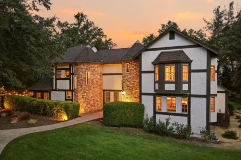
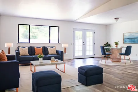
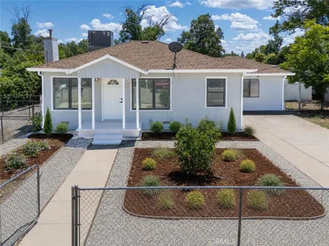
Houses in Redding, CA
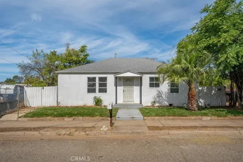
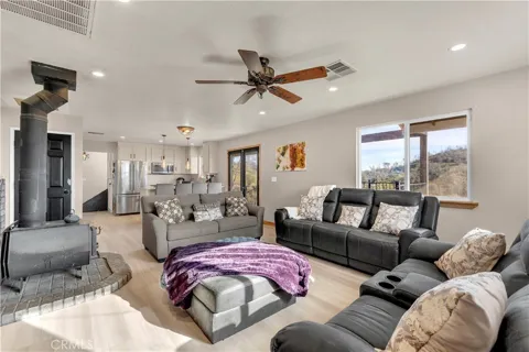
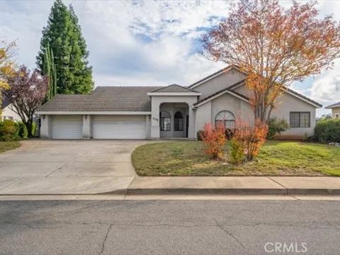
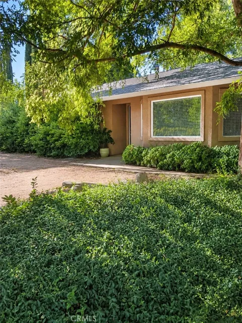
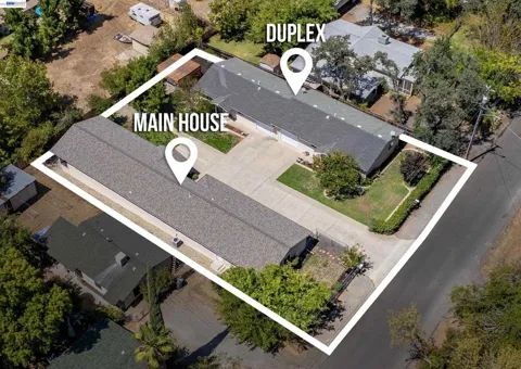
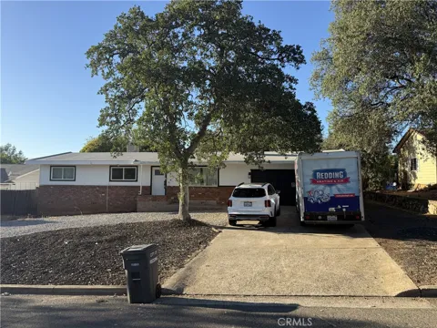
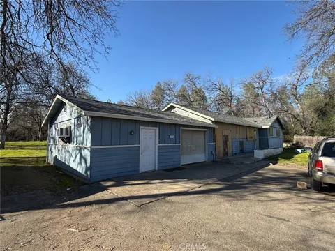
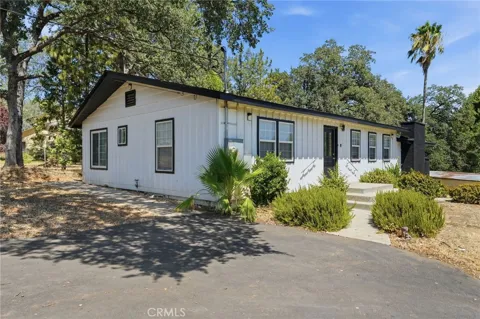
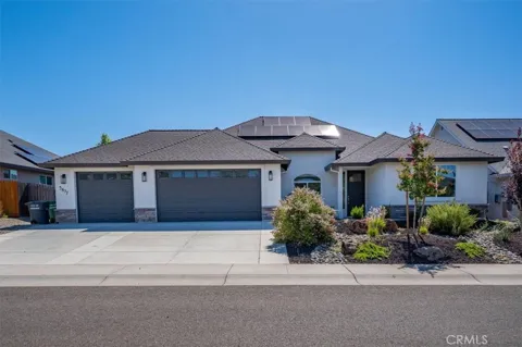
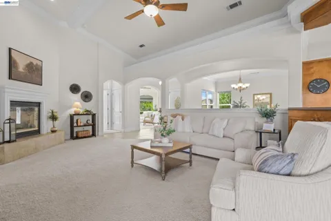
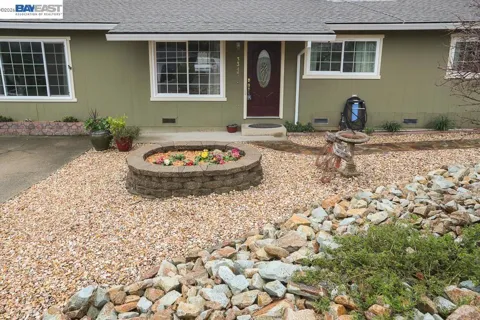
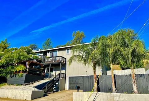
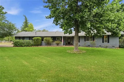
For Rent in Redding, CA
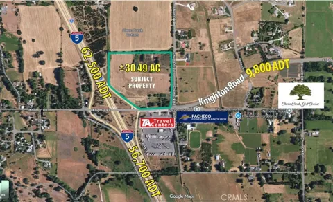
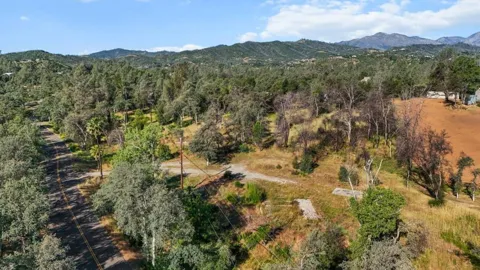
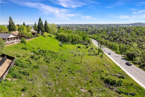
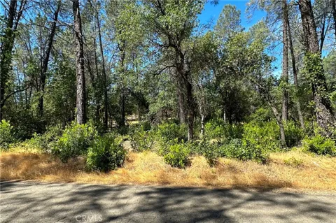
Lots & Land in Redding, CA
MARKET SNAPSHOT
The Market at a Glance
How homes have been selling here over the last 90 days.
Price & Sales History
Market data reflects closed sales over the last 90 days and is provided for informational purposes.
Zip Codes
BROWSE BY ZIP
Browse listings by postal code in this area.
City Guide
About Redding
Real Estate & Housing
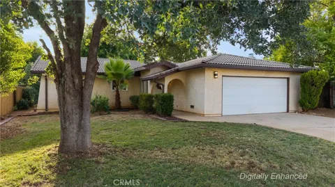
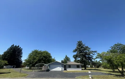
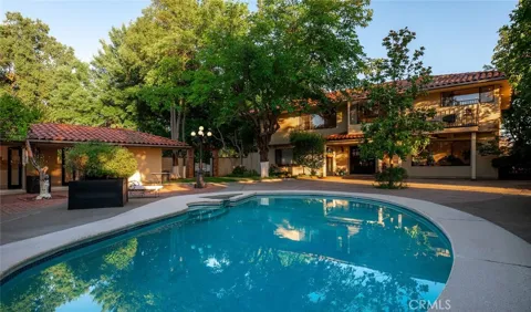
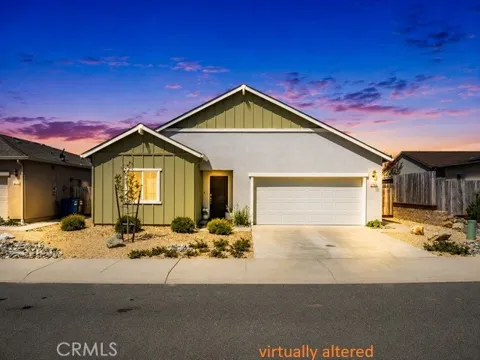
Redding's housing stock spans an older central grid near the Sacramento River and downtown, mid-century neighborhoods on the city's flanks, and newer subdivisions that have extended outward toward the east and south. Many homes sit on larger lots compared with California's coastal metros, and the setting between the Cascades and the Trinity Alps lends much of the housing a backdrop of oak woodlands and mountain views. The market includes a mix of modest bungalows, ranch-style homes, and newer single-family construction, reflecting Redding's growth as a Northern California regional center and its appeal as a more spacious alternative to coastal California living.
Neighborhoods
Redding's neighborhoods spread across both sides of the Sacramento River. The west side holds established residential districts near downtown and the riverfront, while the east side extends toward the Enterprise area and its elementary district, with newer residential growth continuing south and east along the city's edges. Surrounding communities such as Shasta Lake City, Anderson, and Palo Cedro function as nearby satellites of the Redding area. The city's geography, with the river cutting through its center and open foothills on its margins, gives many neighborhoods easy access to trails, parks, and views of the surrounding ranges.
Lifestyle in Redding
Redding's lifestyle is defined by the outdoors and the river. The Sacramento River runs through the center of town, crossed by the Sundial Bridge and lined by the trails and gardens of Turtle Bay Exploration Park, giving residents a walkable, waterfront civic space. Weekends revolve around boating on Shasta Lake, swimming and kayaking at Whiskeytown, and hiking toward Lassen Volcanic National Park. The city also functions as the region's retail, dining, and cultural center, with a downtown of restaurants, breweries, and public events. The combination of four-season outdoor access and city amenities makes Redding a hub for families, outdoor professionals, and remote workers.
Schools & Education
Redding is served by several public school districts, including Redding Elementary School District and Enterprise Elementary School District for primary grades, and the Shasta Union High School District for secondary schools such as Foothill High School. The city also offers private school options and is home to Shasta College and branches of regional universities, giving residents access to community college and four-year pathways close to home. The diversity of districts reflects the city's spread across the valley and foothills, with schools generally organized around neighborhood elementary attendance areas.
Getting Around
Redding sits on Interstate 5, the principal north-south corridor of the West Coast, which links the city to Sacramento and the Bay Area to the south and to Oregon to the north. State Route 44 crosses the east side of the city toward Lassen, while State Route 299 heads west toward the coast. Redding Regional Airport (RDD), southeast of downtown, offers connections to hubs including San Francisco, Los Angeles, and Seattle. Commuting is primarily by car, with the city's freeway and arterial network serving a regional population that extends well beyond the city limits.
Parks & Recreation
Recreation is Redding's signature. Whiskeytown National Recreation Area, eight miles west, centers on Whiskeytown Lake's more than 3,000 surface acres, with swimming beaches, boating, kayaking, mountain biking, and hiking. Shasta Lake, California's largest reservoir, lies just north for houseboating and fishing. The Sacramento River offers trout fishing, kayaking, and the riverfront Sacramento River Trail, anchored by the Sundial Bridge and Turtle Bay Exploration Park. Farther afield, Lassen Volcanic National Park provides volcanic landscapes, while the surrounding Cascades and Trinity Alps add hiking, skiing, and backcountry access, making Redding a year-round outdoor base.
About Redding
Frequently asked questions
What county is Redding, California in?
Redding is the county seat of Shasta County, in the northern end of the Sacramento Valley in far Northern California. It lies along the Sacramento River, between the Cascade Range and the Trinity Alps, and just south of Shasta Lake.
What is the Sundial Bridge?
The Sundial Bridge is a pedestrian and bicycle bridge that spans the Sacramento River in the heart of Redding. Designed by Spanish architect Santiago Calatrava and opened in 2004, it is a cantilever spar cable-stayed bridge whose tower forms a working sundial, and it links the two campuses of Turtle Bay Exploration Park.
What is Redding, California known for?
Redding is known as the hub of outdoor recreation in far Northern California. It sits near Whiskeytown National Recreation Area, Shasta Lake, and Lassen Volcanic National Park, and its riverfront is anchored by the Sundial Bridge and Turtle Bay Exploration Park.
What school districts serve Redding?
Redding is served by several public school districts, including Redding Elementary School District and Enterprise Elementary School District, with high school students attending the Shasta Union High School District. The city also has private school options and nearby community colleges and universities.
What is Whiskeytown National Recreation Area?
Whiskeytown National Recreation Area is located about eight miles west of Redding. It centers on Whiskeytown Lake, a reservoir formed by Whiskeytown Dam in 1963 over a Gold Rush-era mining town, and offers boating, swimming, hiking, mountain biking, and camping.
What airport serves Redding?
Redding is served by Redding Regional Airport (RDD), located southeast of the city with access to Interstate 5 and State Route 44. The airport connects Redding to major hubs such as San Francisco, Los Angeles, and Seattle.
Still have questions about Redding?
Get in touchExplore the area
